Frequently Asked Questions
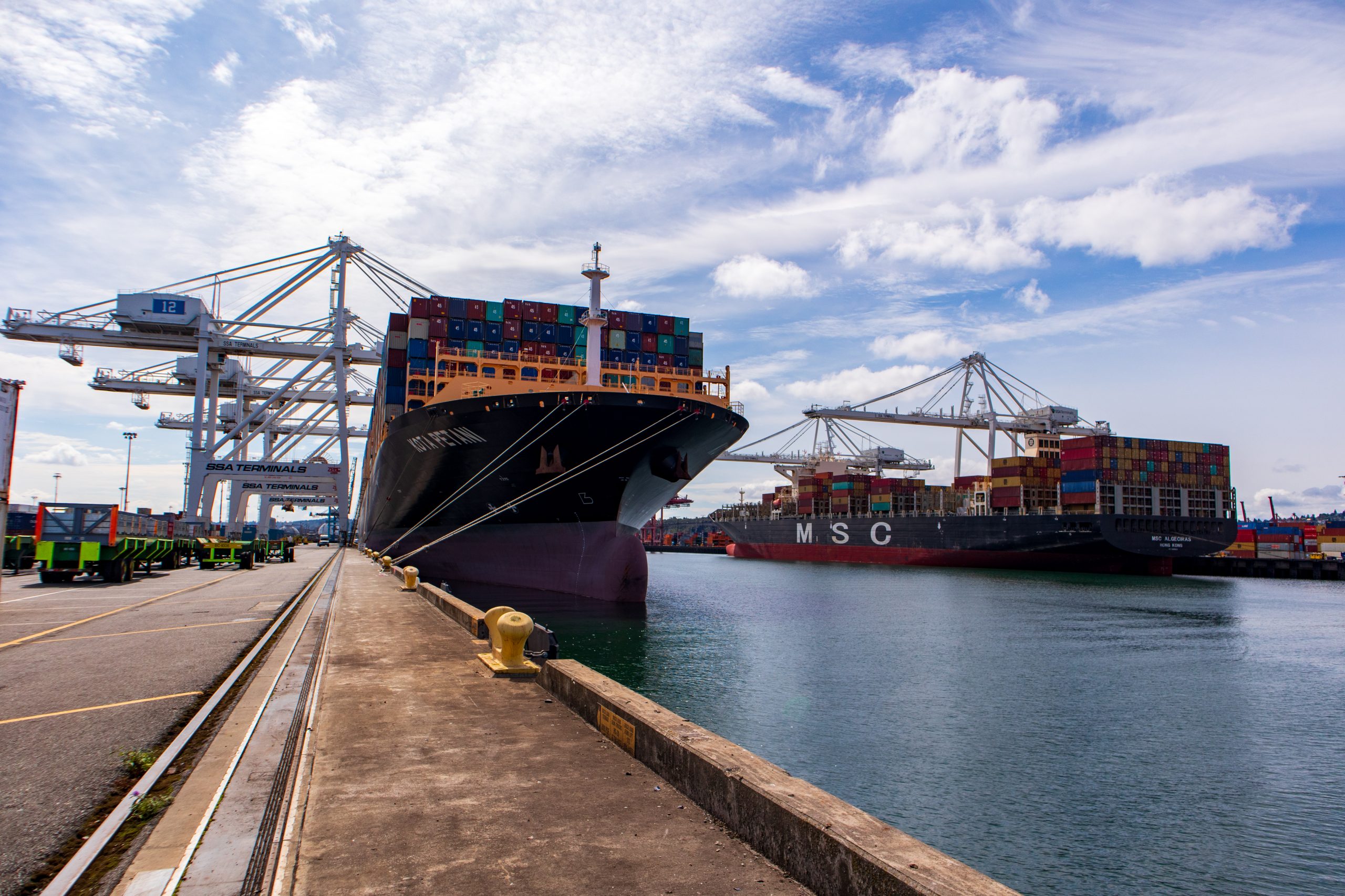
The East Waterway is one of the most active commercial waterways in the Pacific Northwest, supporting shipping and water-based industries. Most vessel traffic consists of shipping container vessels and tugboats.
In addition, the East Waterway serves ecological functions as a deep-water estuary at the mouth of the Duwamish River. It is part of the Muckleshoot Indian Tribe’s and Suquamish Tribe’s usual and accustomed area, with treaty-protected uses including a commercial fishery for salmon as well as ceremonial and subsistence uses. The general public also fishes the waterway from the Spokane Street Bridge.
The East Waterway is part of the larger Harbor Island Superfund Site. The cleanup area stretches one mile and covers 157 acres. It is located immediately downstream and north of the Lower Duwamish Waterway Superfund Site, along the east side of Harbor Island.
The East Waterway Group, or EWG, is composed of three public entities: the City of Seattle, Port of Seattle and King County. The EWG has worked collaboratively under the direction of the U.S. Environmental Protection Agency (EPA) since 2006 to collect hundreds of sediment, tissue and water samples; perform human health and ecological risk assessments; perform sediment transport modeling; and develop and compare potential cleanup actions for addressing contaminated sediment.
The East Waterway is being cleaned up due to unacceptable risks to human health and to the environment. Sediments at the bottom of the waterway contain contaminants that include polychlorinated biphenyls (PCBs), arsenic, dioxins/furans and carcinogenic polycyclic aromatic hydrocarbons (cPAHs) that pose risk to human health. There are 29 contaminants, including PCBs and mercury, which pose risks for benthic invertebrates that are the base of the food chain. PCBs also pose risk to fish within the waterway.
Most of the sediment contamination in the East Waterway is from historical releases during more than 100 years of industrial and commercial activity along and upstream of the waterway.
The Port, City and the County have spent decades reducing sources of contamination and continue to take actions in the storm water drainage system, and to control combined sewer overflows, to further reduce contamination.
It will take about 5 years to complete the engineering design. Construction is estimated to take 10 years. The in-water construction window is limited to October-February to protect migrating salmon, bull trout, and steelhead.
The cleanup may affect shipping and trade activities. As is customary with cleanups in other areas, and to the extent possible, activities will be scheduled to allow shipping and trade activity to continue.
The Preferred Alternative outlined in the EPA’s Proposed Plan will protect fish and wildlife and will substantially reduce risk to human health. It should be noted that the Washington State Department of Health currently advises people not to eat resident fish and shellfish caught in the Lower Duwamish Waterway and the East Waterway.
After the cleanup, there will be extensive monitoring to confirm that the remediation is performing as designed. This monitoring data will be used by the Washington State Department of Health to re-evaluate seafood advisories.
The EPA released its Interim Record of Decision (ROD) for cleanup of the East Waterway. The Interim ROD includes a Responsiveness Summary, in which EPA responds to public comments they received. The next step following the Interim ROD is Remedial Design (RD). During the RD, scientists and engineers gather more data about contamination and site conditions in the East Waterway. Engineers use these data to refine which areas need cleanup and decide which cleanup technologies can be used to meet EPA’s cleanup plan requirements in specific locations.